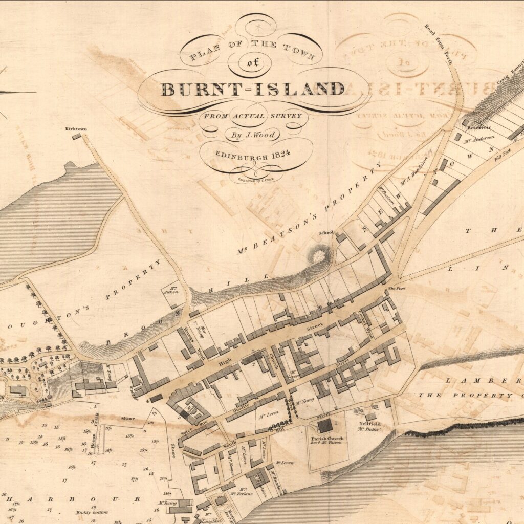
Burntisland 1824 - (John Wood) National Library of Scotland registered Scottish Charity, No. SC011086 https://maps.nls.uk/

1592-96: With Burntisland thriving as a trading burgh and its population growing, the wee kirk at the Kirkton was no longer big enough. The townsfolk funded the building of a new parish church from taxes on ships entering the harbour carrying timber. The site chosen was on the peninsula east of the harbour and it acted as a landmark to sailors in the Forth for hundreds of years. John Roche, mason and builder, was the designer.

As one of the first post-Reformation churches in Scotland, a decision was taken to move away from the typical Catholic cross-shaped building (cruciform). Instead, a square barn-like building was erected, centred on the communion table with the congregation gathered around it. Originally, the tower was wooden, and the floor probably beaten earth. Over the years, the church developed and a porch and octagonal stone bell tower added.
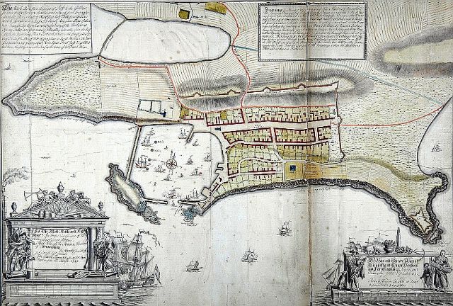
Burntisland 1745 - (John Elphinstone) the original 1745 map held by the Admiralty Library. It was used as the model for the 1746 version in the British Library. From Burntisland Heritage SCIO https://www.burntislandheritage.org.uk/